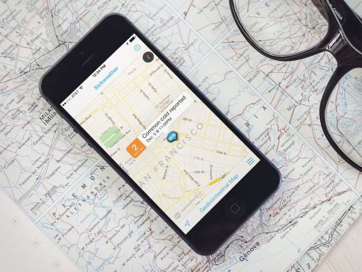
Described as “the world’s first Doppler radar for sickness” (gross!), the Sickweather app sets you up with real-time alerts whenever you enter a known sick zone where locals have recently reported being sick.
Achoo! Sickweather is a Doppler Radar for Cold Season

Last winter, the coughing, sneezing, and sniffling tech world was all about Help, I Have the Flu, a Facebook app that attempted to help you find out who might have given you the flu, or who to watch out for based on status updates, friends’ updates, and the like. Well, this year it’s all about Sickweather, a website and mobile app that tracks sickness via GPS.
Described as “the world’s first Doppler radar for sickness” (gross!), the Sickweather app sets you up with real-time alerts whenever you enter a known sick zone where locals have recently reported being sick.

If you’re someone who is prone to certain types of illness, you can set up your notifications to those specific ailments. Allergies, asthma, bronchitis, ear infections, fevers, pneumonia, strep throat, and pink eye are just some of the options in the “Illness Alerts” section of the app.

But how? Sickweather uses a unique process to track and map reports of illness via social media. Anytime someone gets sick and reports it, a blue “SICK” marker pops up on your map. Click it to find out what, when, and where said sickness is happening.

If you don’t want to go mobile with this whole thing, the Sickweather website is ready to deliver the same information.

It’s kind of morbid and pretty gross to be able to creep on your neighborhood in the form of who’s getting sick when. But, it could also be pretty helpful. If you feel a cold coming on, maybe it’s best to avoid Upper Haight street. Pneumonia? Get over to the Mission and soak up that sunlight.


